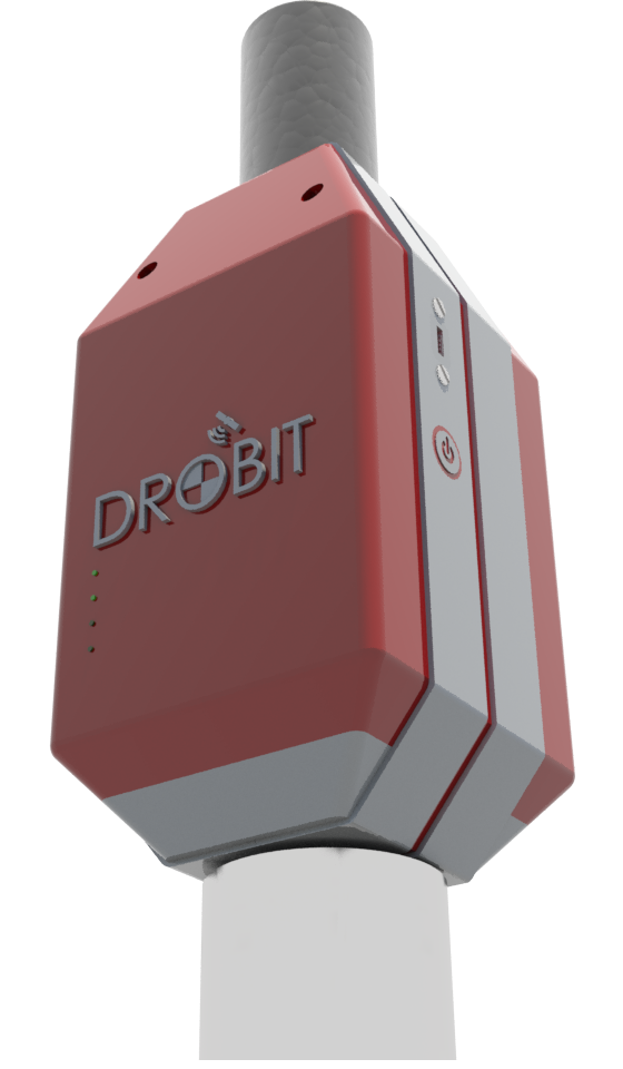
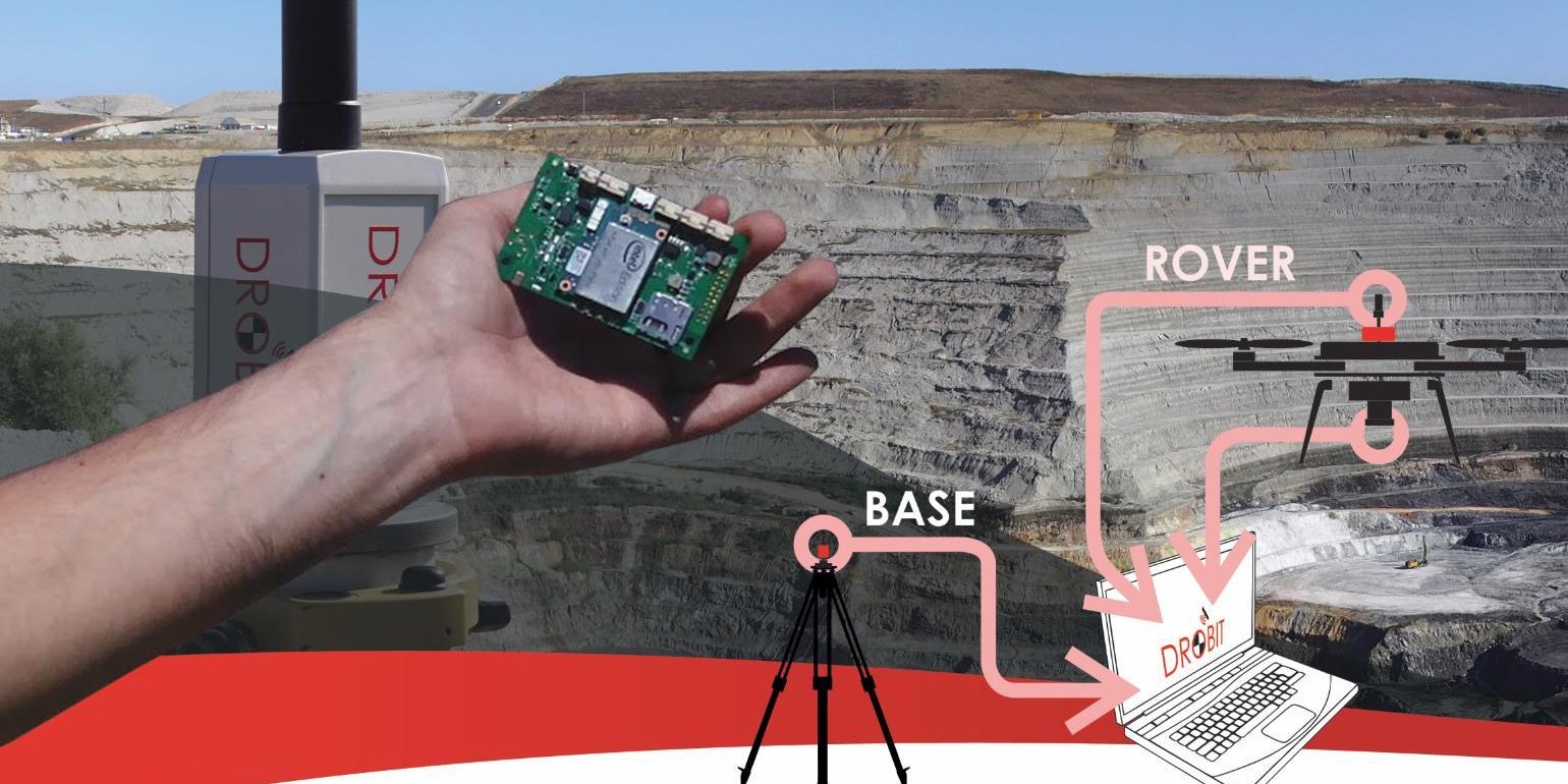
GeoBit is proud to introduce DROBIT, a high-accuracy positioning system for performing drone-based photogrammetry based on differential correction of GNSS kinematic trajectories.
DROBIT has been designed to be mounted on RPAs. This device allows to geotag the pictures with an accurate location and timestamp. This means that you can perform photogrammetric surveys without ground control points achieving an average accuracy around 3cm
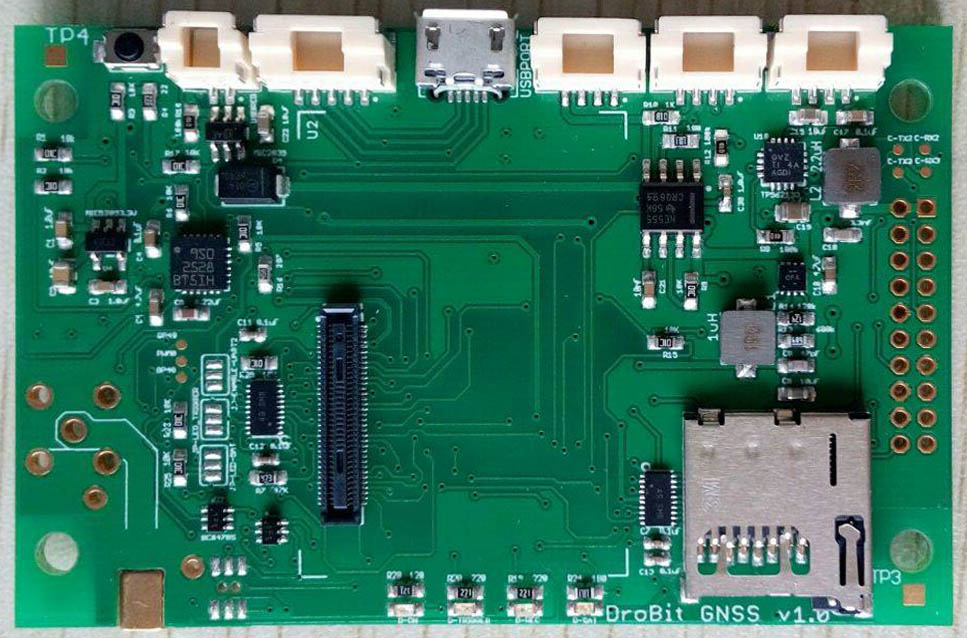
Actually, DROBIT is not just a device, but a turn-key geomatic solution composed by a combination of hardware, software and geomatic algorithms, packed in a shell of less than 50 grams.
The main applications range from topography to precision agriculture.
If you are interested in DROBIT visit the web or contact with us: info at geobit.es


